Kinnaur
~2,290m at Reckong Peo · the Sutlej valley, on the old Hindustan–Tibet road — and the quiet route into Spiti.
Apple orchards climbing into bare rock.
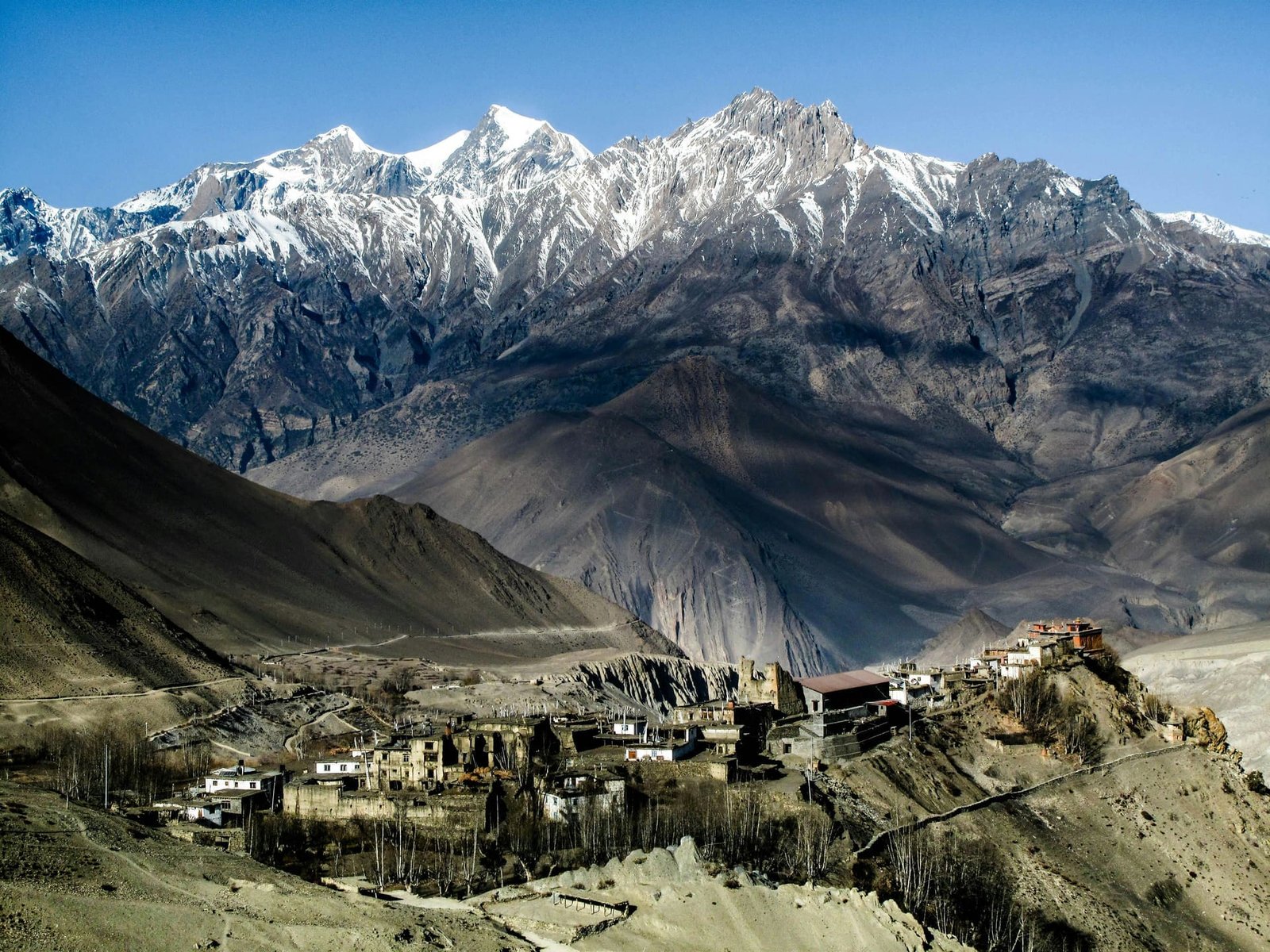
Kinnaur runs along the Sutlej River on the old Hindustan–Tibet road, and shares the "Land of Gods" title with neighbouring Kullu. It's the transition zone between green Himachal and the cold desert beyond — apple orchards give way to increasingly bare rock as you climb toward the district's higher villages and, eventually, into Spiti.
Culturally it's distinct too: Kinnauri traditions blend Hindu and Buddhist practice in a way that's rare elsewhere in Himachal, visible in the local temples and the pattu shawls the region is known for.
The last village before the road stops.
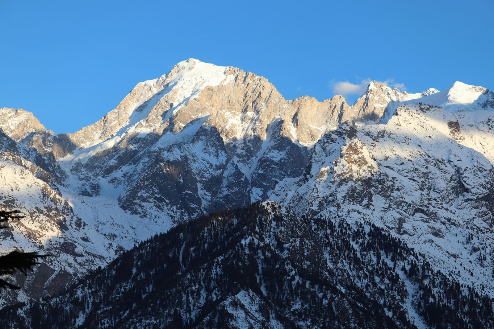
- 01KalpaA village with the best straight-on views of Kinner Kailash (~6,050m), a peak sacred to both Hindu and Buddhist tradition.
- 02Sangla Valley & Kamru FortA wide, green valley with a centuries-old wooden fort at its entrance.
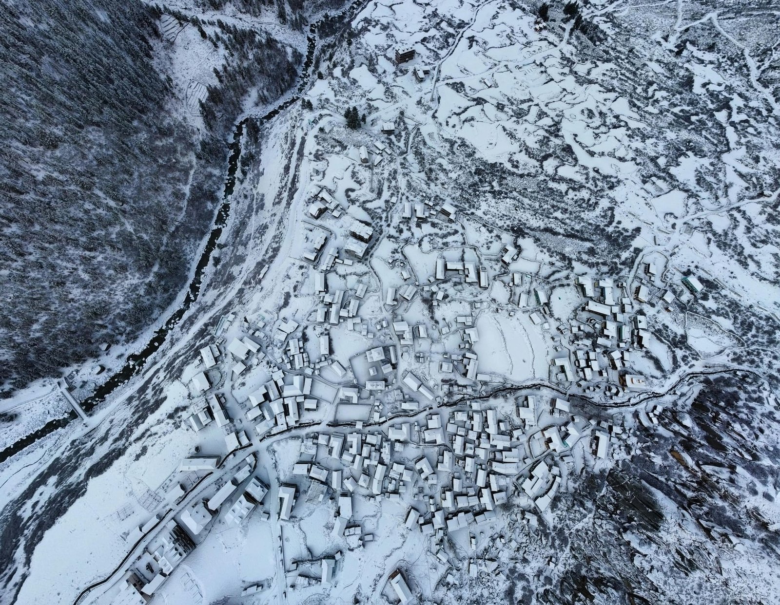
- 03ChitkulThe last inhabited village on this stretch of the Indo–Tibet road, at roughly 3,450m — end of the line, in the best way.
- 04NakoA high-altitude village around a small lake, closer to the Spiti border than to green Kinnaur.
- 05Reckong PeoThe district headquarters, and the usual overnight stop before continuing toward Spiti.
Best time & getting here.
Best Time to Visit
April–June and September–November. Higher villages like Chitkul and Nako can close off with snow December–March.
Getting Here
~235 km / 8–9 hrs from Shimla along NH5. Kinnaur is also the usual overland route into Spiti.
Activities
Village walks, orchard visits (best in apple season, Aug–Oct), short treks, and photography — Kinner Kailash views are the main draw.
Good To Know
Some areas near the Tibet border require an Inner Line Permit — we handle this as part of the itinerary, no separate paperwork on your end.